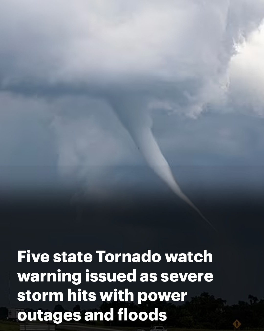
Five state Tornado watch warning issued as severe storm hits with power outages and flash flooding – millions told to ‘be ready’
Millions of residents have been warned to ‘be ready’ for a tornado as a major storm caused power outages an flooding across five states.
The warning by the National Weather Service (NWS) forecasted a ‘severe thunderstorm’ on Sunday that will cover a large swathe of north-western Georgia alone with patches of southern Tennessee, north-western Florida, southern Mississippi and southern and eastern Alabama.
Residents have been urged to ‘be ready to act quickly’ if a warning is issued or if they suspect a tornado is approaching.
‘Be prepared’ and ‘know your safe location,’ the NWS added.
In Georgia a total of 59 counties are covered by the tornado watch until 9 a.m. EST on Sunday, whilst in Mississippi watches are in place for Harrison and Jackson counties until 4 a.m. CST.
Much of the state is at risk of widespread power outages due to strong gusts of wind and saturated soils, particularly where trees and power lines are vulnerable.
Flash flooding remains a significant concern across north Georgia, with a risk level two of four, due to the saturated ground from recent rainfall.
A flood watch is in effect after parts of Middle Tennessee, particularly to the west, experienced flash flooding on Saturday.


It remains a big concern for residents of the state who saw up to six inches of flooding following a storm.
Gusts of wind are expected to be up to 40 mph.
Tennessee State Troopers, members of the highway patrol, advised drivers to use caution across the state.
The state’s city, Clarksville, recorded four inches of rain on Saturday afternoon and expected up to 2 more inches by the evening.
‘With all of the rain we’ve had in recent weeks, we were bracing for a significant flash flooding event,’ Clarksville Mayor Joe Pitts said in a news release issued yesterday.
‘Today, unfortunately, it happened, bringing challenges through our city.’


The city’s street department prepared by placing 1,000 sandbags as well as barricades in areas where the city historically has experienced flooding.
The weather agency warned on X: ‘excessive runoff may result in flooding of rivers, creeks, streams and other low-lying and flood-prone locations. Creeks and streams may rise out of their banks.’
In central Alabama the watch lasts until 6 a.m. CST on Sunday covering Barbour, Clay, Elmore, Macon, Randolph, Bullock, Cleburne, Lee, Montgomery, Russell, Chambers, Coosa, Lowndes, Pike and Tallapoosa counties.
The tornado watch is in force for the Florida counties of Bay, Gadsden, Jackson, Liberty, Washington, Calhoun, Gulf, Jefferson, Wakulla, Franklin, Holmes, Leon and Walton until 10 a.m. CST on Sunday.